Tuesday, August 31, 2010

Arches and Canyonlands National Parks

Here we are about to enter Arches National Park.


The Three Gossips are on the left.


Balanced Rock


Everyone wanted to add their own balanced rock contributions near the Balanced Rock. We saw these all around Balanced Rock, and even down the road in Canyonlands National Park.


The iconic Delicate Arch, which also appears on Utah's license plates. We opted not to walk the 0.5-mile, 200-ft climb up to see it a little closer. It would have been the equivalent of climbing 20 flights of stairs! Maybe next time...?


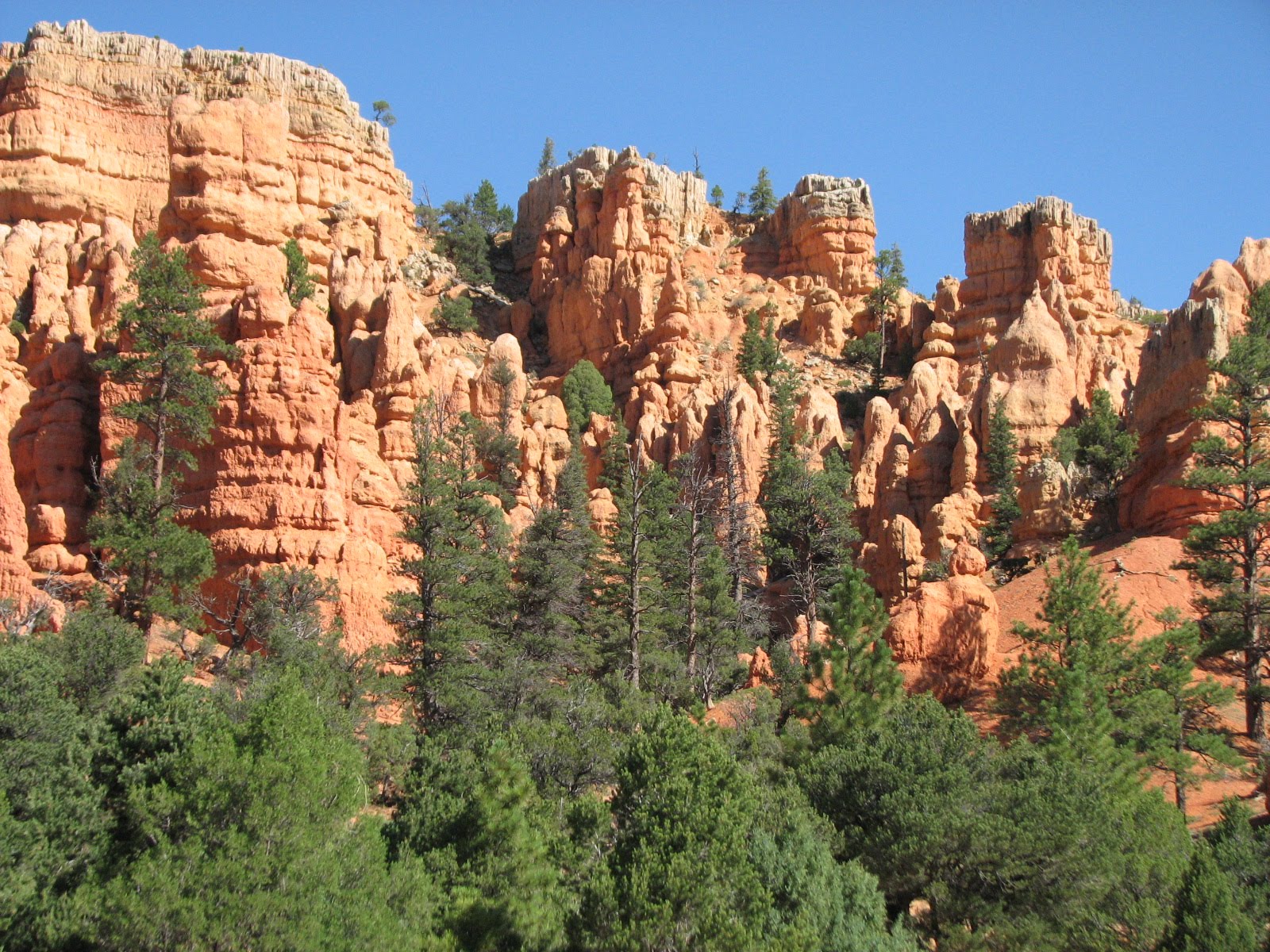
This is the road leading into and out of Arches National Park.


Just up the road from Arches is the entrance to Canyonlands National Park.


The road leading into Canyonlands was utterly deserted, so we had some empty-road fun!


Try as I might, I couldn't find a place to perform the traditional "climbing out of the canyon" photo op. So how about the "I'm about to fall into the canyon" shot?


After visiting Arches and Canyonlands, the smart thing would have been to find a hotel in Moab, which is right by the two parks. Moab is a great little town, complete with a myriad of cute little restaurants and its own brewery. Moab would have been great. However, we didn't stay in Moab.

Looking at the map, we set our sights on the town of Blanding, Utah, which was an hour closer to our next destination of the Four Corners. We arrived in Blanding and found a hotel, and set our sights on finding a place to eat dinner. After a hot day walking around and seeing the sights under the Utah sun, all we wanted was to find a place where we could get dinner and an ice cold beer. We drove around to see what kind of eateries there were in Blanding, and both (yes, both -- as in, there were TWO) restaurants looked like they were alcohol-free. Curious as to where two visitors could get a refreshing drink we inquired at the local gas station, where we got the saddest news of the day: Blanding, Utah is a dry town.

At this point we had our hearts set on a beer... the idea had taken hold and we couldn't shake it. We found out that there was a gas station 3 miles outside of town that sells beer, so off we went. While browsing the beer case in the gas station, I saw this beer which made me actually laugh out loud:
Polygamy Porter... Why have just one!

No, we didn't actually buy the Polygamy Porter, but it was good for a chuckle!

Monday, August 30, 2010

Capitol Reef National Park

After the amazing drive from Bryce Canyon we entered Capitol Reef National Park, and the rainbow we had seen earlier was still going strong. We got to Capitol Reef within 90 minutes of sunset, which brilliantly lit up some of the red rock features of the park but also cast other areas in shadow. I focused mainly on the bright pictures!

There goes that rainbow again...

Rob and I are in the bottom of the picture for some size comparison; those cliffs are really high up!


No humans in this picture for size comparison, but trust me... these cliffsides are just as high as the ones in the previous picture.


We were in an extremely isolated part of Utah at this point. We ended up finding the town of Hanksville, Utah, population 206. 206! There are more than 206 teachers at my high school! So we found a room at the Hanksville Inn, run by a true character who told us his story of meeting Don Shanks (the guy who played Michael Myers in Halloween). Oh, Hanksville, you are just filled with interesting characters!

Wednesday, August 25, 2010

Into Utah we go!

Here we go into Utah... where the entire southern half of the state is pretty much just one big beautiful national park!

Passing through Red Rock Canyon, which is right before Bryce Canyon.

Rob finally gets to see Bryce Canyon on a sunny day! We were here back in 2007 but it was raining at the time. We stopped by the first lookout point but the weather unfortunately prevented us from seeing the rest of the park. The weather on this second trip was much more cooperative -- so cooperative, in fact, that we left Bryce with some lovely sunburns!

Getting a bird's eye view of Bryce Canyon, I suppose?

Taken from Ponderosa Point, elevation 8,904 feet


Natural Bridge, elevation 8,627 feet

Farview Point, elevation 8,819 feet

Bryce Point, elevation 8,300 feet


Driving from Bryce Canyon to Capitol Reef on Route 12 through the Escalante Staircase was another thrilling drive... red cliffs... white cliffs... switchback roads... forests... every turn brought something new to see! The next picture is not from any official national park, but just one example of why the entire southern half of Utah is one of the most amazing places in the United States. You can see the car in the lower right part of the screen to get a sense of how high up I was to take this picture, and what it must be like to drive through this.

Another example of "this is not in a national park but should be" from southern Utah.

And to top it all off, we saw a rainbow in the sky as we approached Capitol Reef National Park (pictures to come tomorrow).


Tuesday, August 24, 2010

Grand Canyon and beyond

Rob at the Grand Canyon.


No trip to the Grand Canyon would be complete without the classing "falling into the canyon" shot. As always, there was no actual danger of falling in -- I was quite safe kneeling on a ledge below that rock!


That zig-zagging line is the Bright Angel Trail which leads to the bottom of the canyon. (No, we didn't go down the trail, either on foot or on mule!)


After the Grand Canyon we experienced another thrilling drive on Route 89. I like that the RV is in the shot so all can see how high those cliffs actually were!


Monday, August 23, 2010

From Tucson to Flagstaff


After a restful couple of days visiting Heather in Tucson, it was time to move on with the trip. We drove out of Tucson through Gates Pass and Saguaro National Park before driving up to Flagstaff.


This particular saguaro must be well over 100 years old -- they do not start growing "arms" until approximately 75 years.


A bit north of Phoenix we stopped at Montezuma's Castle, built into the side of a rocky cliff.


Next we took a scenic detour to see the red rocks of Sedona. We got caught in some "controlled traffic" to accommodate the street sweeper, which left time for some photo experimentation.


More red rocks of Sedona.


After passing through the city of Sedona, we drove on route 89A up over Wilson Mountain. The landscape changed drastically from the red rocks to a thickly wooded forest, complete with a much lower temperature and warnings about moose crossings!

Next stop: Grand Canyon!